


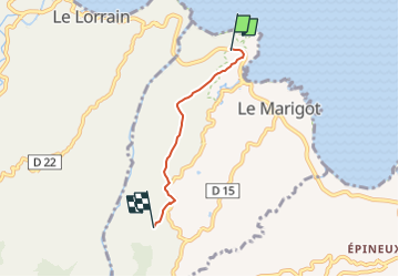

5.5 km | 7.4 km-effort


User GUIDE


FREE GPS app for hiking
 SityTrail
IGN / Geographical institutes
SityTrail World
The world is yours!
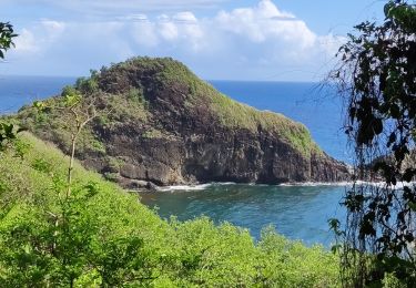
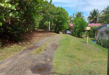
Trail Walking of 4.1 km to be discovered at Martinique, Unknown, Le Marigot. This trail is proposed by Lamartiniere.
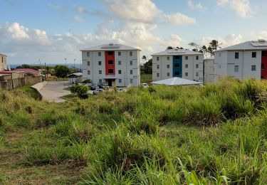
Portion de randonnée pour revenir squr Pôl Nord.
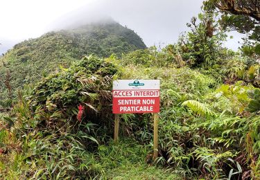
Terrain privé. Demande d'autoreisdation et assurance.

sport
Walking
Walking
Walking

Walking
Walking
Walking
Walking
Walking